Write on: Are we there yet?
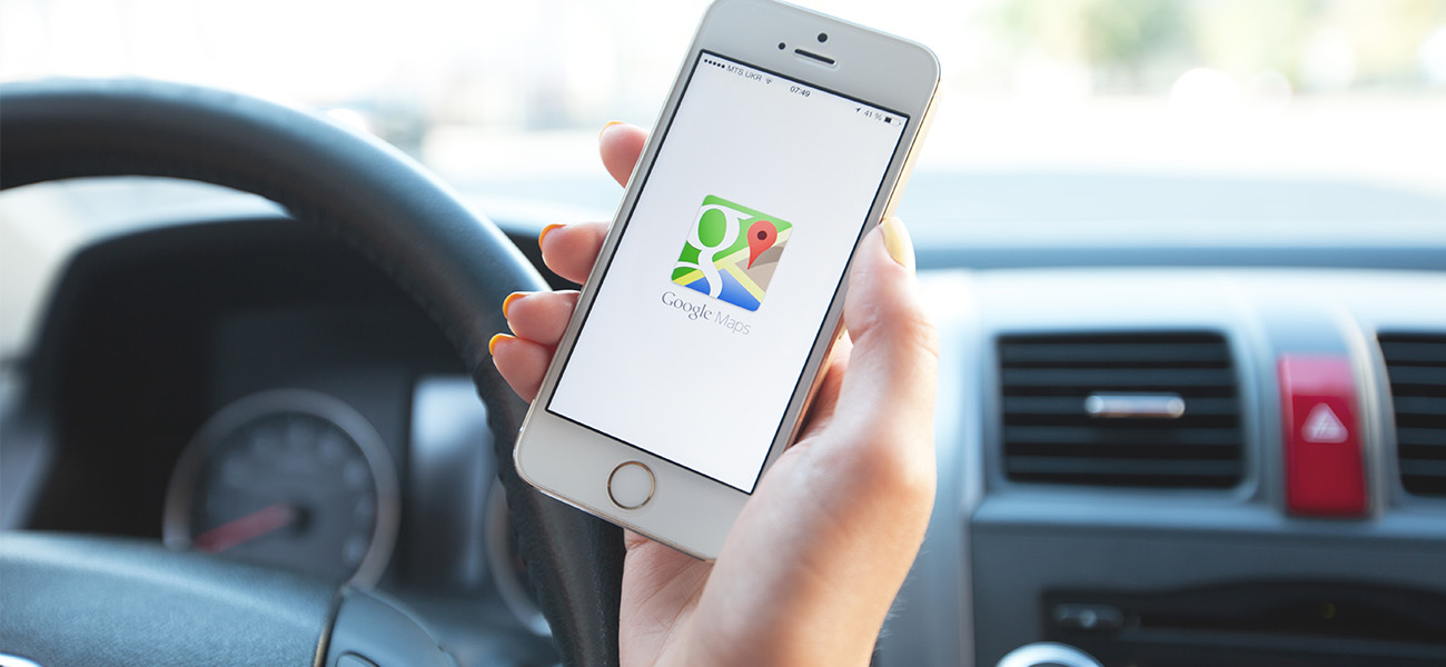
I don’t know what I’d do without Google Maps.
I’ve lived in Baton Rouge for more than four years now, but I still rely on it to get around town.
In the beginning, it was because I was struggling to learn the roads.
|
|
Isn’t it funny how memory works? I only return to my childhood hometown a few times per year, but I still remember every obscure highway entrance, cul-de-sac and roundabout. I guess some things are just ingrained in you, like when that Backstreet Boys song I haven’t heard in years comes on, and I can somehow recall every word to that, too.
But those first few weeks living in a new city, when I’m actively trying to concentrate on street signs and landmarks, I still need an app to help me navigate to my apartment. And to work. And to the grocery store.
It took a solid year or two for my mental map of Baton Rouge to form completely. The roads here are now finally, thankfully, forever ingrained in my memory.
But even though I know how to get around, I never have kicked the habit of loading up Google Maps when I get in my car.
These days, I use it primarily to help with another issue: avoiding traffic at all costs.
When the interstate is a mess, using its suggested routes can shave anywhere from 15 to 60 minutes off my commute.
I’m grateful to navigation apps for not only saving me time, but for exposing me to parts of Louisiana I might never have seen otherwise.
As a cautious driver and somewhat directionally challenged person, my iPhone has been such a powerful tool because it has made me confident and comfortable enough to drive anywhere.
Especially this spring, as traffic has been particularly horrendous here in Baton Rouge. Google Maps has taken me all along Government Street and Florida Boulevard, and through plenty of charming little residential neighborhoods.
Some of the best story ideas for 225 come on those long drives, where I always seem to spot signs for new restaurants, interesting murals and buildings I’d somehow never noticed before.
On a couple trips outside the Capital Region, navigation apps have taken me along miles and miles of the Mississippi River levee, weaving around sunny open fields of wildflowers and chemical plants that look like mini cities themselves.
Another day, traffic heading from Baton Rouge toward New Orleans was so bad, the app diverted me all the way to Mandeville and then over the Lake Pontchartrain Causeway bridge.
That experience inspired multiple moments of panic. The first was when I realized I was about to go through a toll and didn’t have cash. The second was because it seriously felt like the foggiest day I’ve experienced in Louisiana yet.
It didn’t help that the bridge seems impossibly high—or that it feels like it’s never going to end—or that it’s marked by several signs warning of strong crosswinds. I gripped the steering wheel so hard that entire journey.
I later read up about the Causeway and learned that it’s the longest continuous bridge over water in the world.
I can’t get the picture of the scenery during that 24-mile ride out of my head. Traffic on the bridge was light that day, so my view for most of the time was just open road, fog and water. The thick clouds over the gray waves were a hauntingly beautiful sight.
As scary as my first time riding over it was, I have to admit: I’m thankful the app took me over the bridge that day. I don’t think I’d mind traversing it again.
It was another reminder of all the corners of this state I have yet to experience, all the adventures still to come.
Sometimes you just need a little technology—and yes, even a little traffic—to find your way there.
And if the roads are memorable enough, maybe you won’t even need a map to find your way home.
This article was originally published in the May 2019 issue of 225 Magazine.
|
|
|

